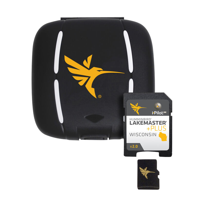
Humminbird LakeMaster Plus Chart MicroSD/SD Card, Wisconsin
- This item is currently not available
- Delivery to Change Address
- Delivery Fee Details
This item is excluded from all discounts and promotions.

We believe in offering the very best value, quality, and selection. Plus, we want you to enjoy your purchase! In the event you wish to send a product back to us, you may return most unused items for a refund or exchange, minus shipping, within 90 days from the date of purchase unless noted below under exceptions and exclusions. Refunds are issued to the original form of payment.
Features
• The Satellite Only - This layer shows only aerial imagery and no other map information.
• The Satellite Land - This layer shows the LakeMaster map and the aerial imagery that extends around the body of water.
• The Satellite + Contours - This layer shows the aerial imagery and just the LakeMaster contours so you can still pick out those features in the water while still seeing your depth.
Each map card has over 500 new lakes and boasts or more than 260 High Definition lakes and over 1,700 total lakes from WI. The PLUS series also gives you access to all of the LakeMaster features including the following:
• i-Pilot Link compatible
• Easy to read contours
• Depth Highlight Range
• Water Level Offset
• Shallow Water Highlight
• Scrollable Lake List
Newly surveyed waters in WI include - Lake Michigan (North, South and Central); Sturgeon Bay, Loon Lake, Mississippi River Pool #4, Lost Land, Teal Lake and many more!
- Allows for aerial image overlay on HD waters
- Increases navigational awareness
- Pick out features you miss on traditional maps
- Easy to read contours
- Compatible with i-Pilot Link


 800-700-1366
